 | Planning |
|
|
|
|
|
|
|
|
|
|
|
|
|
|
|
|
|
|
|
|
|
|
|
|
|
|
|
|
|
|
|
|
|
|
|
|
Ten Stages to GIS Planning (Tomlinson 2007)
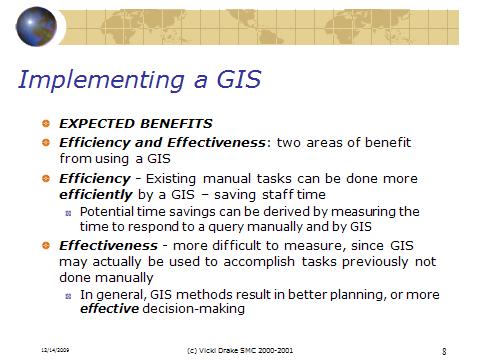
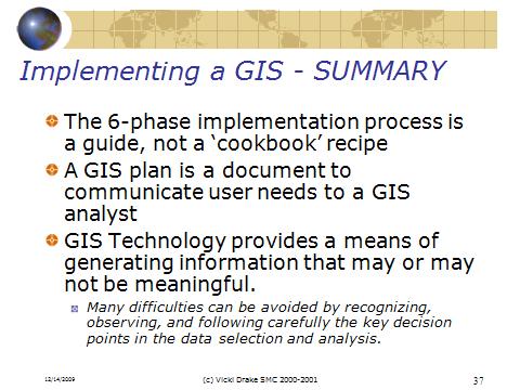
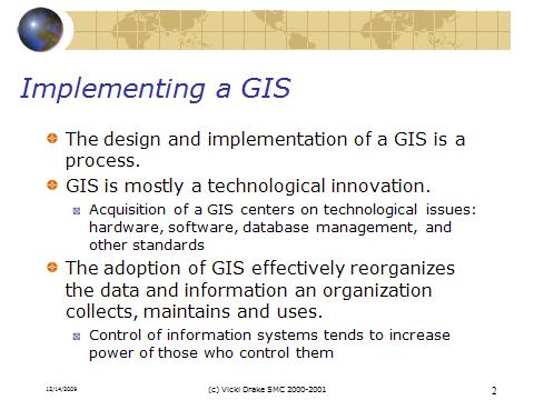
Tomlinson (2007) has broken down the task of implementing a GIS into ten stages. These steps may require a lot or little detail depending upon the scope and size of your project.
1: Consider the Strategic Purpose
What is the general purpose of your organization, what are the goals, objectives, and mandates? How does GIS fit into these? If your organization is involved in natural or human resource management, then a GIS may form an integral part of your organization. On the other hand, maybe spatial data is a small part of your organization. A GIS must fit into your needs, and not be implemented just because you can. Look at the following for your organization: mission statement, guiding principles, goal statement, program direction, employee development and support, and public interaction.
2: Plan for the Planning
Develop a project proposal for a formal planning process for implementing GIS. This is the stage where executive level commitments are made for the process to begin. This stage can be very informal if you are part of a very small organization or just one person. Who is on the team, what is the timeline?
3: Conduct a Technology Seminar
Define what is needed from a GIS, and what GIS can do for your organization.
4: Describe the Information Products
What do you need to make your job(s) easier, more efficient? Maps, lists, reports. Who needs the information, what are the requirements?
5: Define the System Scope
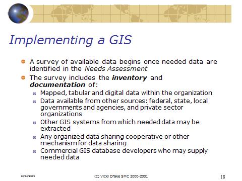
What data to acquire, when, how much, source for the data?
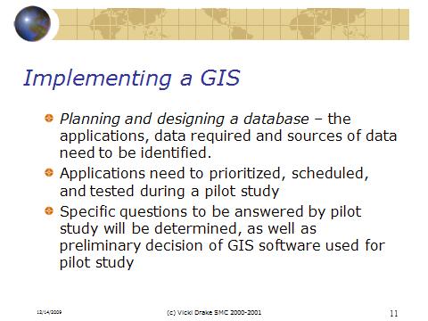
6: Create a Data Design
What is the best way to represent the data that you need?, scale, resolution, map projection, error tolerance, do you need multiple versions at different scales? Data standards and conversion? What software will you use, and how does it interface with your present system(s).
7: Choose a Logical Data Model
How will the data be structured for your organization? Relational database (think related tables based on key), object-oriented, object-relational. Will you use a geodatabase model?
8: Determine System Requirements
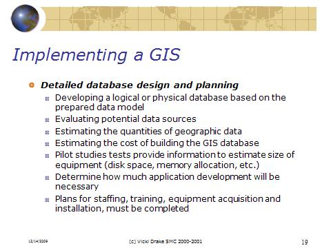
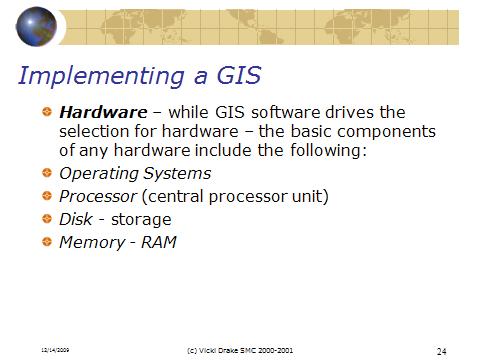
What software is needed (desktop GIS, web based server)? What size computer system, and network needs are required? How much will it cost?
9: Consider Benefit-cost, Migration, and Risk Analysis
How much will the system cost, versus what are the benefits. Include hardware and software, data, staffing and training, application programming, and interfaces and communication (network). This will also help you to revise your plan based on budget (e.g. image resolution vs. cost).
10: Plan the Implementation
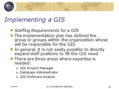
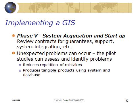
This plan identifies the actions required for implementing GIS, such as product identification, equipment and software purchased, training,
