 | Pictures of Geofeatures |
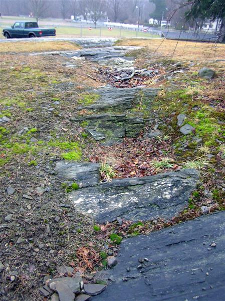
Avalon Terrane Boundary - http://www.wesleyan.edu/ctgeology/SaveOurGeology.htm |
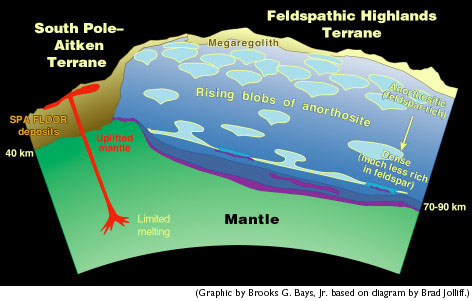
Moon terrane - http://www.psrd.hawaii.edu/Aug00/newMoon.html |
|
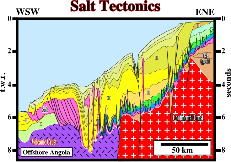
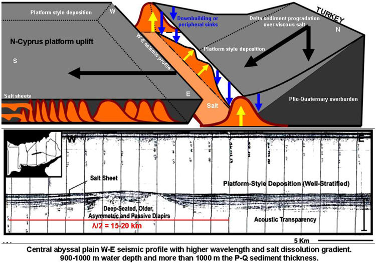
Seismo flowage -http://www.searchanddiscovery.net/documents/2008/08012toker/images/04.htm W-E seismic profile, central abyssal plain (lower), shows the main salt flowage to the west. This profile illustrates the greatest half-wavelength of passive diapir (15-20 km). Water depth: 900-100 m; Plio-Quaternary sediments: greater than 1000 m thick. Simplified 3D-basin model (upper) of the salt-sediment-fold dynamics (e.g., doming, downbuilding, diapir migration to the south with salt-sheet flows) indicated in profile. |
Seismo flowage - |
Erosional beach scarp exposing older peat strata and fronted by heavy-mineral concentrations, Madaket, Nantucket Island, Massachusetts |
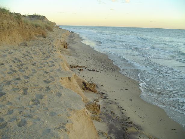
Scarp - http://web.wm.edu/geology/virginia/provinces/coastalplain/scarps.html